Leave ’em laughing when you go – Moab to Sedona
Had I this trip to do again, I would stay in Moab longer. There are paths and discoveries all along the Colorado river – I could have occupied our time for a week. We will have to return.
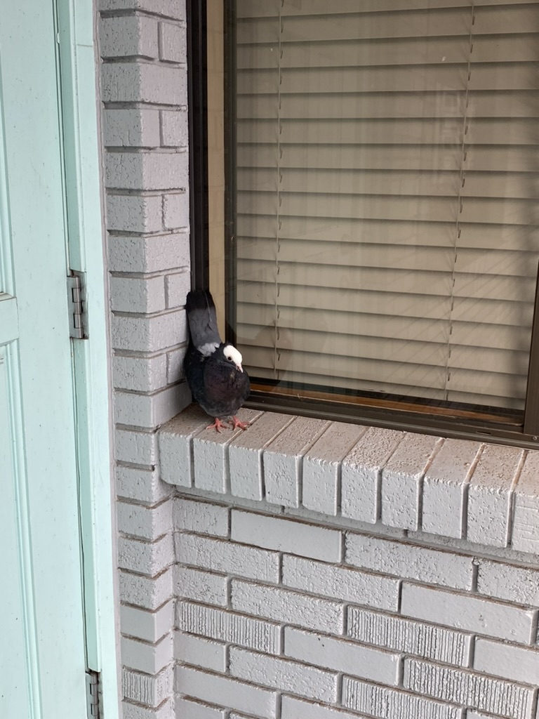
In any case – the day after our Arches expedition, we woke and packed and left our lovely Lodge. I had plans to wake the boys at 4 and catch the sunrise at Arches – but in the end, I decided that would make the rest of the day quite a chore. So we all slept in, and then packed the room. We grabbed breakfast in the hotel, passing a puffed up angry pigeon who apparently is something of a pet, and guards the door to the breakfast room.
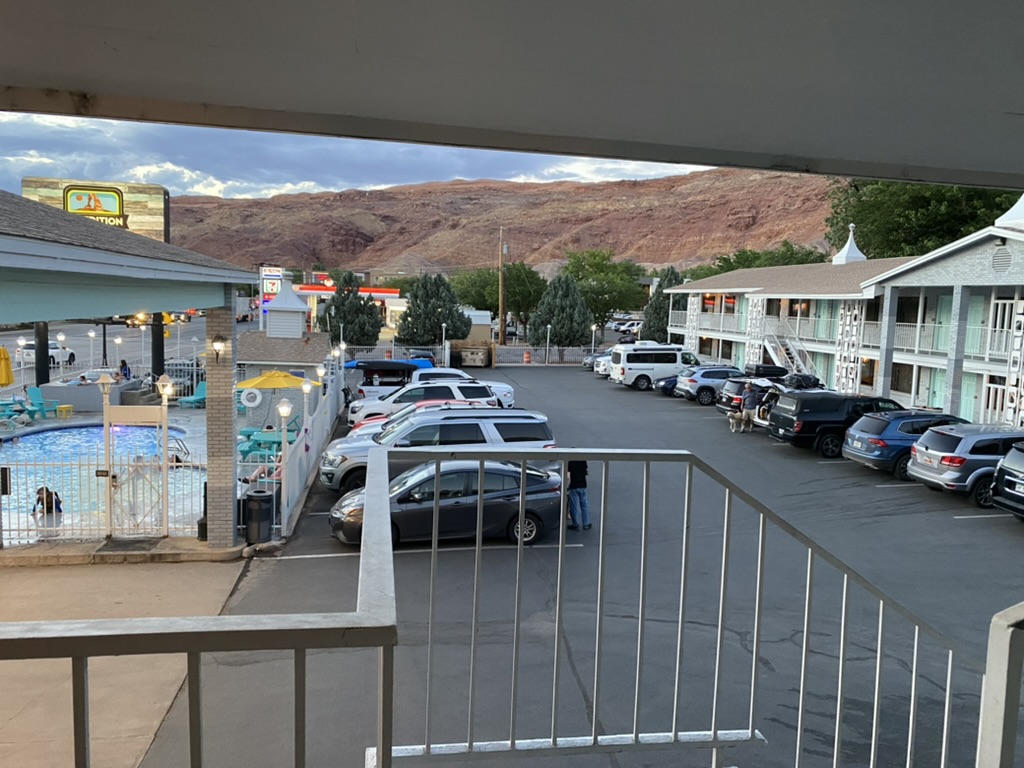
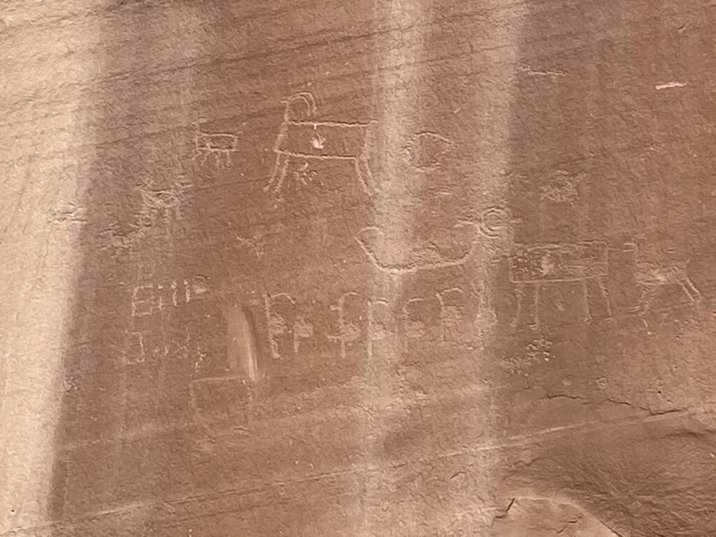
A friend sent me a message during our journey encouraging us to see the dinosaur tracks at a trail just outside Moab. We had a big day planned, but how can you skip dinosaur tracks! I decided to fold them into our itinerary – they were not far. So we started the day heading down 129, winding along the Colorado River, to find the Poison Spider Mesa trailhead and find the dinosaur tracks. Before we found the mesa, we saw a sign advertising petroglyphs.
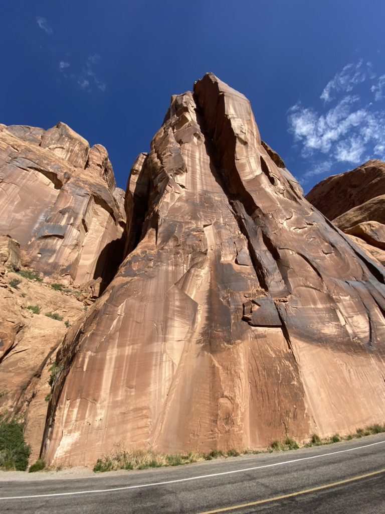
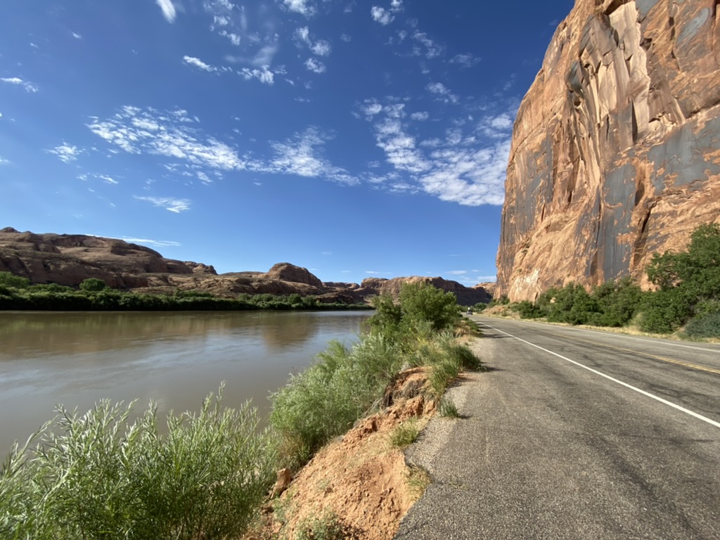
We were on a narrow two lane road, with the Colorado river to our left and sheer cliffs to our right. But there was a bit of shoulder available to pull over, and I did because – petroglyphs!
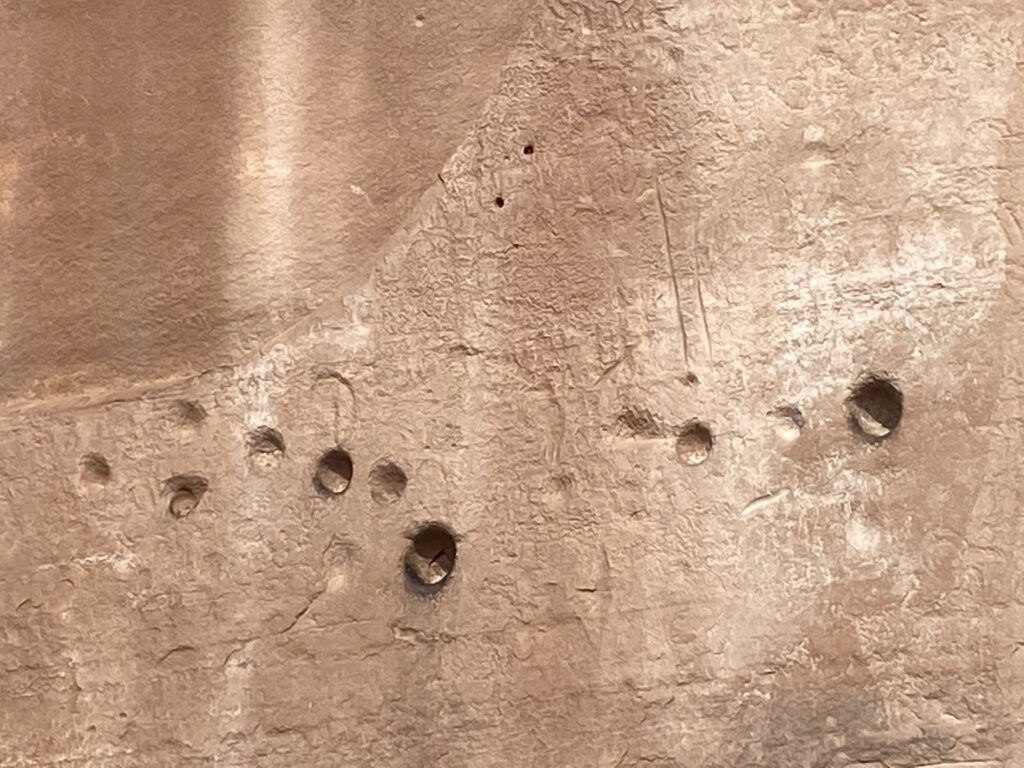
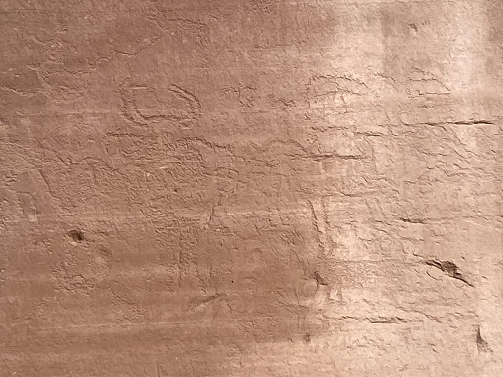
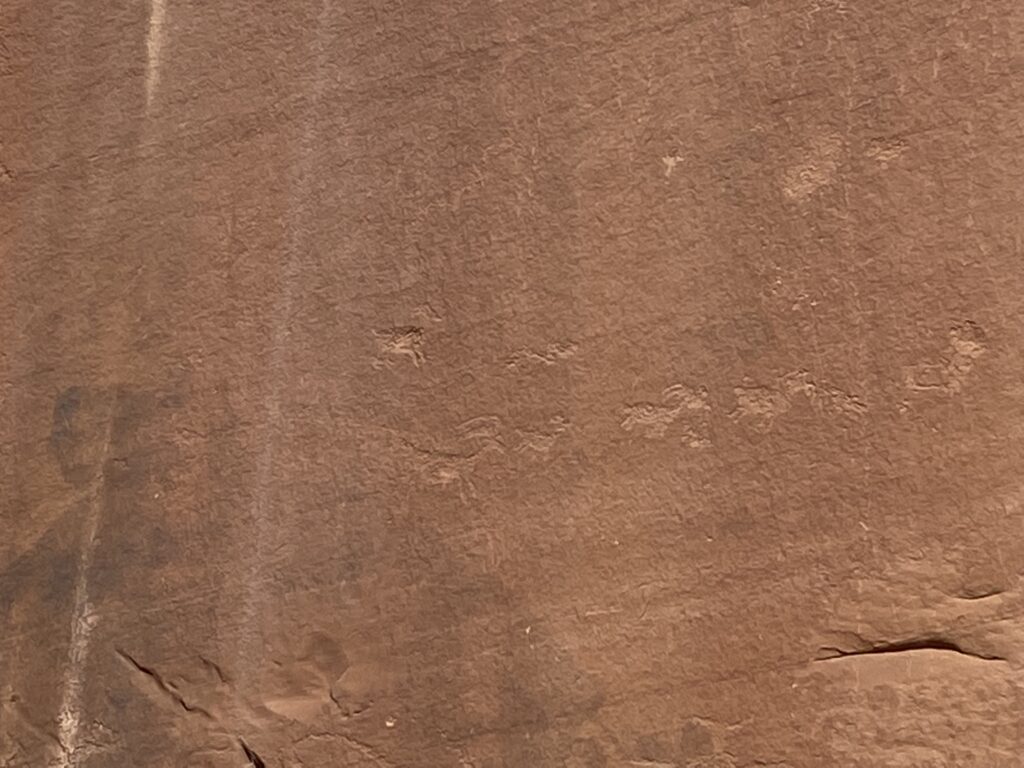
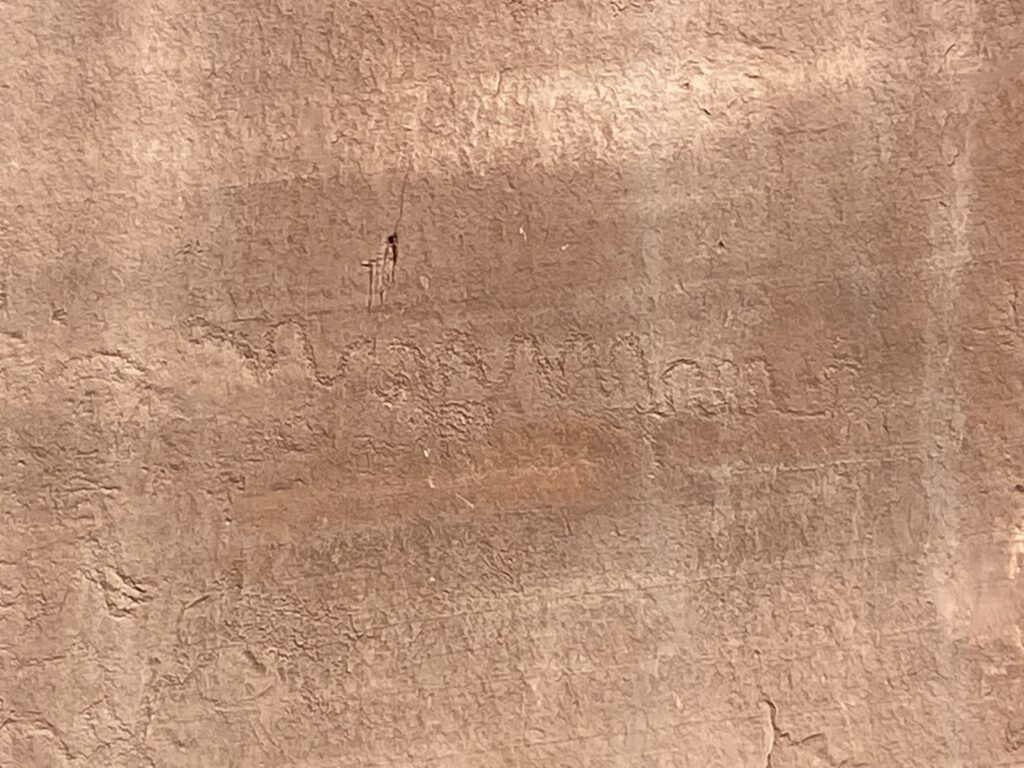
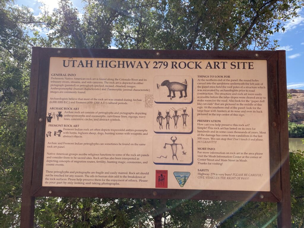
They are a bit hard to see but look closely – you’ll see animals, people, and my favorite – a wiggly snake. The picture with holes in the rock shows you a place where ancient peoples had put roof supports for a structure. It was the sort of thing that one just sits and ponders meditatively for some time. . . . as cars whip behind one along the highway inches away. A little incongruous, but I am so glad we got to see these.
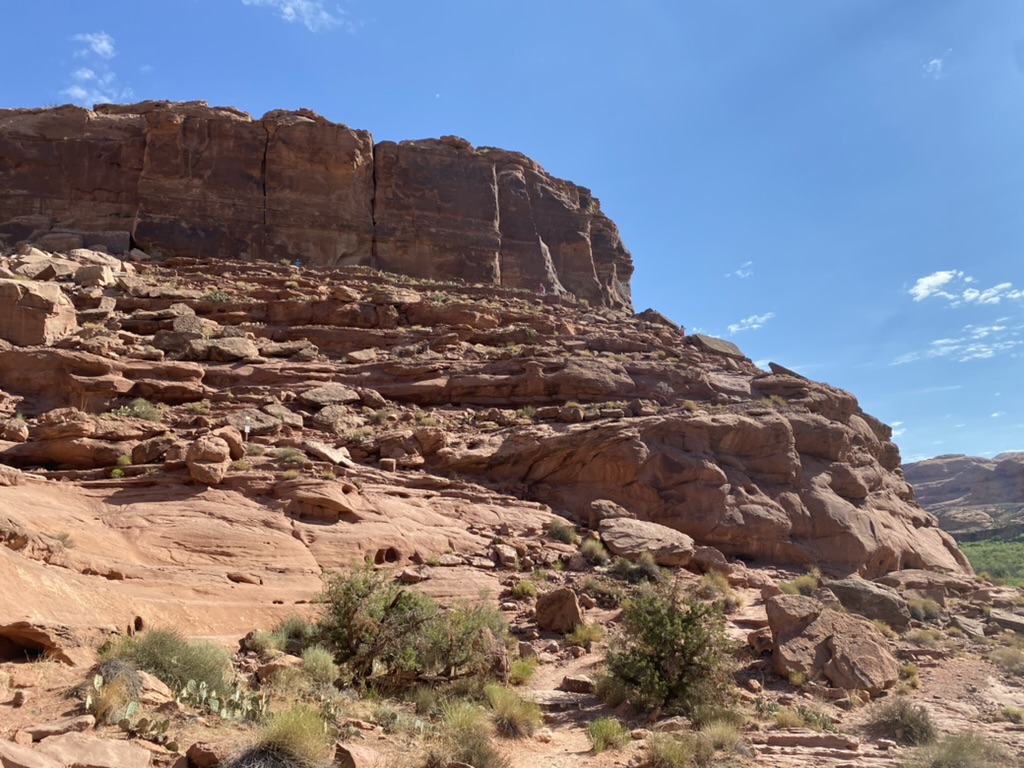
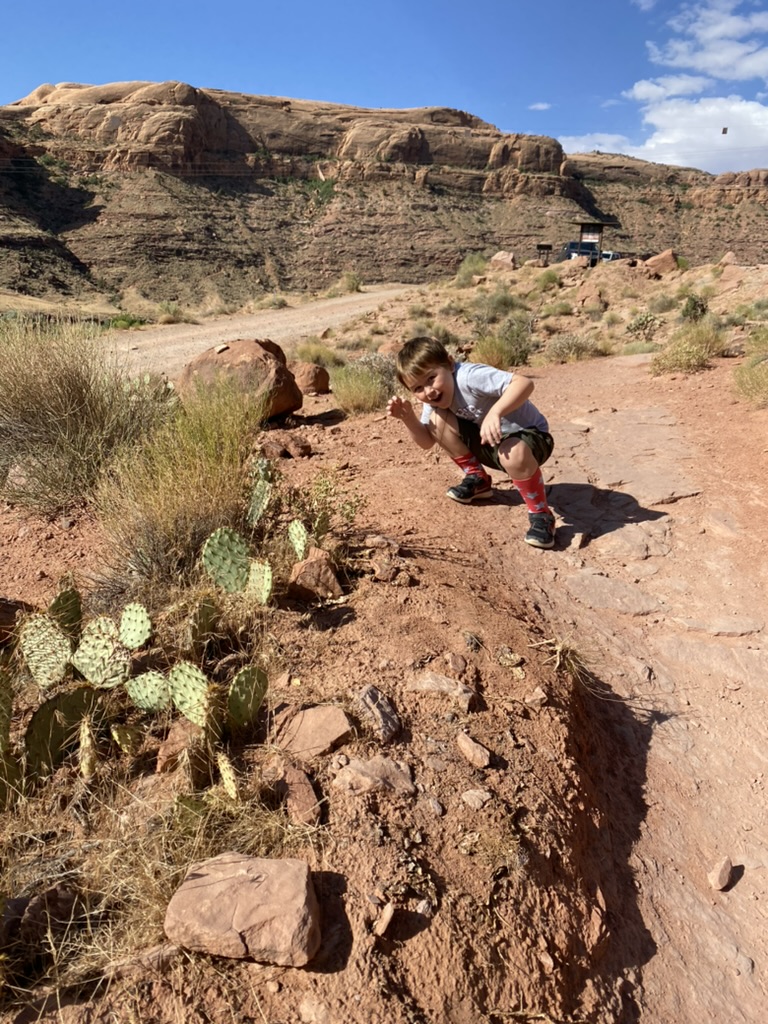
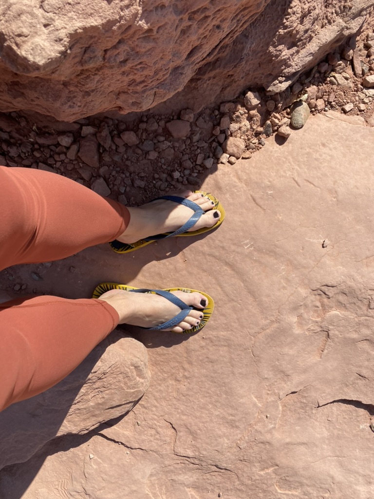
There were more pull-offs with cool stuff like this all along this highway, but we had to get rolling to Canyonlands and could not spend too much time exploring, so we headed straight for the dinosaur tracks next, about a mile or two down the road. Per the instructive panels at the parking lot (and the website linked here), the dino tracks were a short moderate hike away, about a third of a mile. I left my flip flops on and didn’t bother changing into hiking boots since it was so short . . . this I would regret. In the gallery of pix below, to the left is a view of the cliffs where the dinosaur tracks were. In the middle, Craig acts out his fear of cacti yet again. (Through the short hike he pointed out every one. “There’s a cactus. Ooh, there’s another one! Augh, aNOTHER one right THERE!” It definitely never got old.)
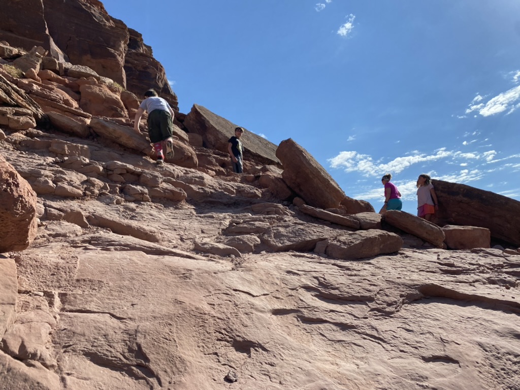
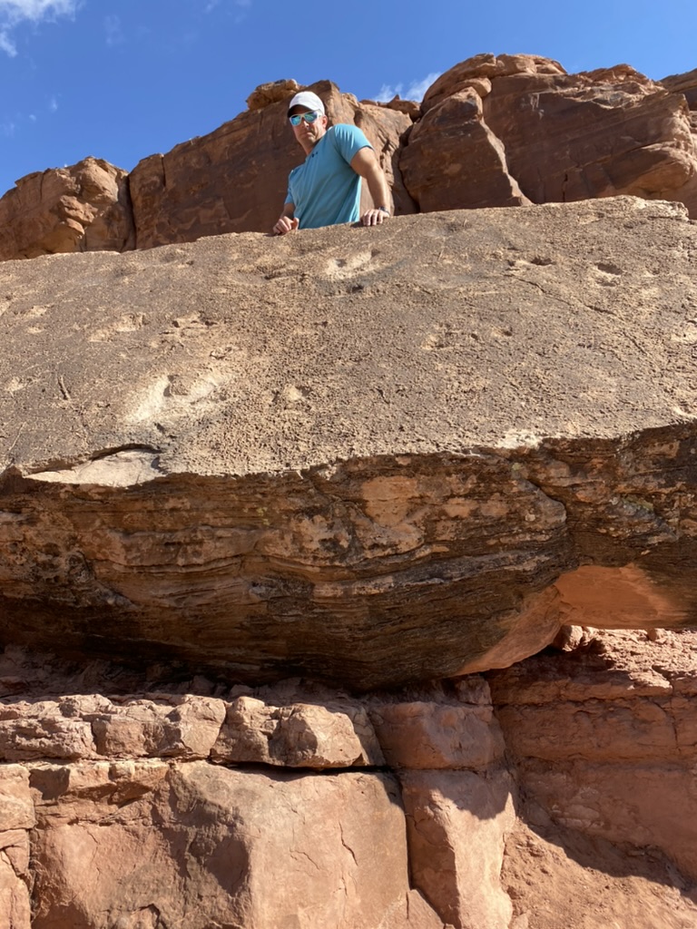
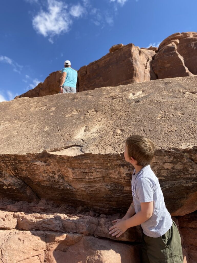
Below is a helpful sketch I found online showing where the hike actually went (taken from here.) Me ‘n my flippy floppies did just fine til the tip of the arrows pointing to “Dinosaur tracks on boulder.” That required a scramble up the rock, which I was not able to do because of my footwear. The scramble itself was not super dangerous, except that an errant step could cause a tumble down to the highway more than fifty feet below. The cliffside was pretty sheer.

I felt dumb having worn the wrong shoes. You can’t see the tracks from the bottom of the scrambly part, so I let the boys scramble up – and then got EXTREMELY panicky because I was not able to reach them or snatch them from the sheer edge. I told them to take a pic and GET THE HELL DOWN NOW. There are more things to see up at the base of the cliffs up top, but I was done. They took my phone and snapped some pics, then slipped down the side of the cliff, spraying pebbles and dirt in my face as I grabbed their legs and helped them down. Whew. Managing my anxiety with them around sheer cliffsides with unguarded death drops was quite an adventure.
We piled back in the car and started the one hour drive to our next national park – Canyonlands.
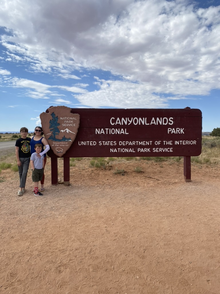
Canyonlands is much less popular than Moab, and is mostly backcountry and wilderness, not car accessible. The “Island in the Sky” section of Canyonlands is the easiest one for a mom, two kids, and giant SUV to reach, and that is where the vast majority of Canyonlands visitors go. One day I would love to do a lengthy backcountry rafting or hiking trip in the other portions (the Needles and the Maze)! But this was not that trip – we still had a 7 hour drive to our next location after hiking through Canyonlands, so we kept it simple. I looked at the map, read a few things, and decided to start at the Visitor’s Center and Shafer Overlook, then drive all the way down to the Grand View Point Overlook and walk the GrandView trail. After that trail, we would come back the way we came, hitting Mesa Arch and the Green River Overlook.

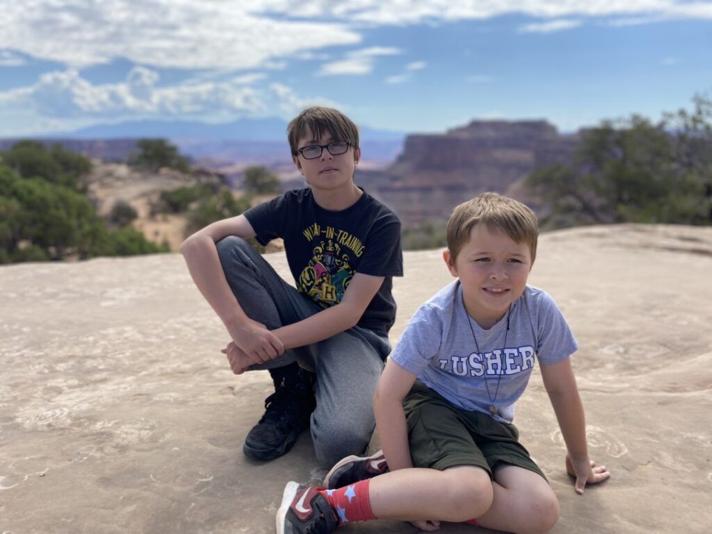
We took a few snaps at the Shafer Overlook, which is across from the Visitors’ Center.
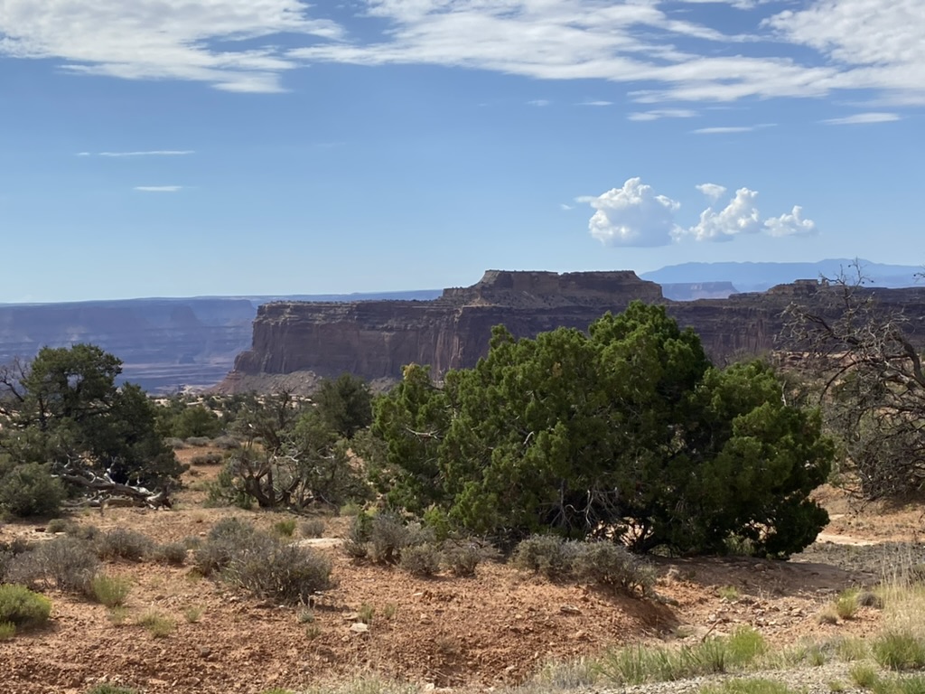
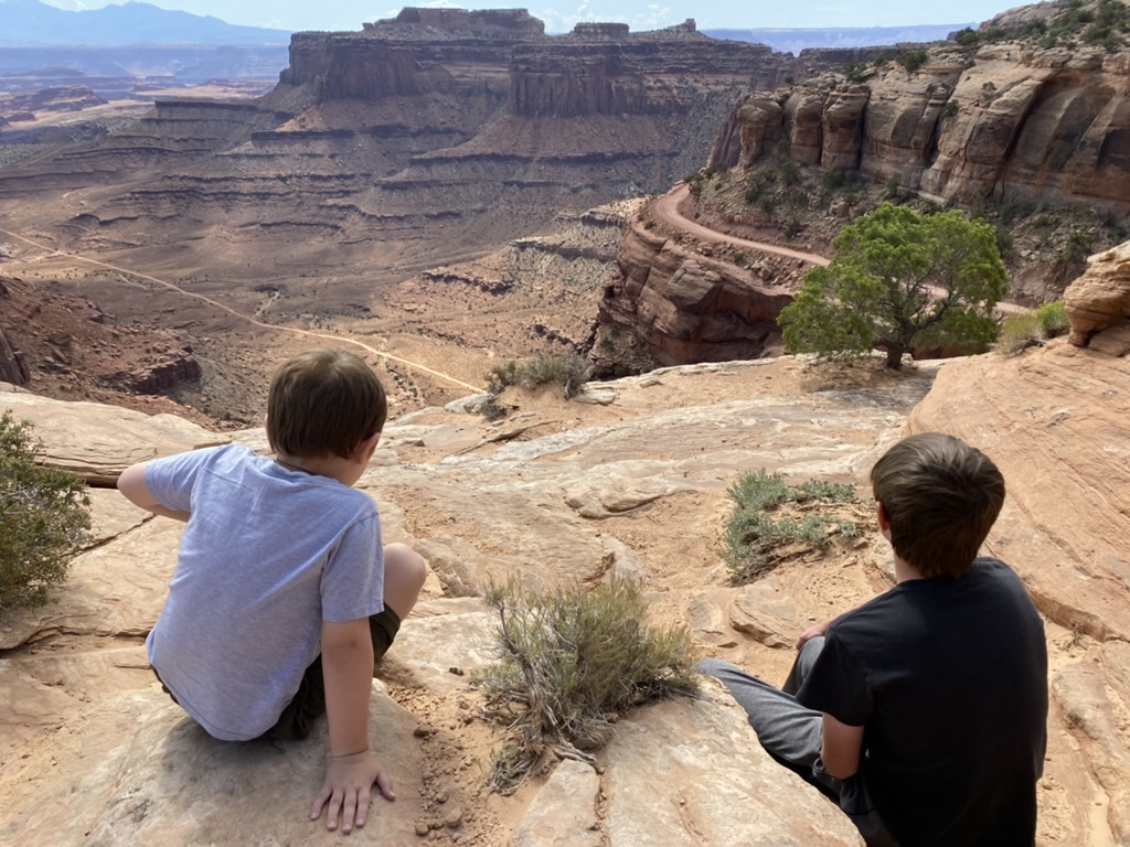
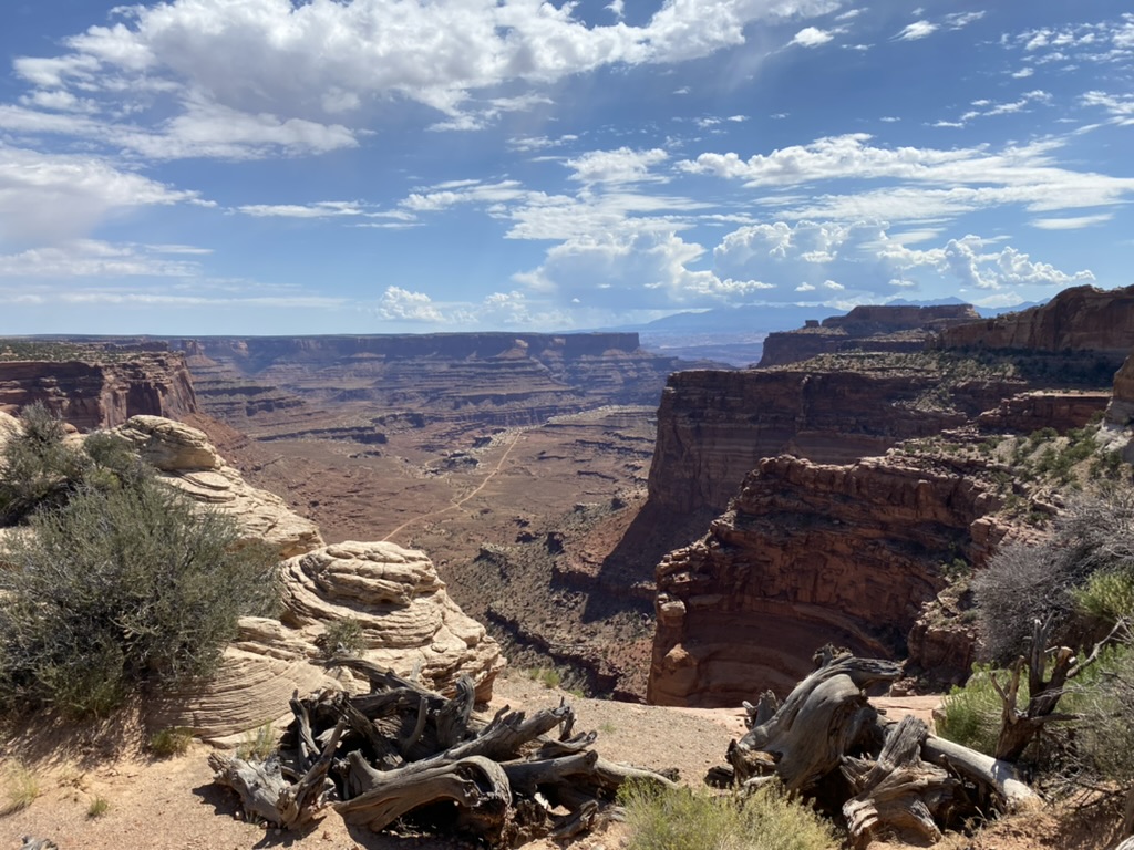
The scale of these canyons was just mind-blowing. The overlook was a wonderful amuse bouche for the views to come. After staring in awe for a bit, we turned around, crossed the street, and headed into the Visitors’ Center. I got a few Christmas presents and let the boys get finger puppets. Every time we were in the car they played with these puppets – Craig named his raccoon Rocket, and Liam’s was Tristan the trout. They also made me buy an owl for Jack. So darling.
The drive across Island in the sky from Visitors’ Center to Grand View Point took maybe ten minutes. We parked in the lot and joined the dozens of people walking the Grand View Point Trail – a 2 mile trail there-and-back along the unprotected sheer rim of the 300 foot deep canyon. Before we started, I pulled the boys aside and told them plainly – I have to be able to trust you here. I will not enjoy this hike at all if I have to worry about you falling off the cliff. I need you to not jokingly shove each other or me – not get near the edge or make jokes about falling off the edge – and listen to me immediately if I shout instructions, even if you think I’m being silly. I’m not saying that you’re in great danger here – I’m saying that I am your mother and I’m built to scan the horizon for dangers to you, and so please be understanding of my anxiety and help me feel that you are safe. This little speech worked – they teased me a tiny bit, but allowed me to stay between them and the edge and scooched further from the edge any time I asked.
If you ever go to Canyonlands, this hike is a must-do. There are canyons within canyons with the canyons, it doesn’t look real. The boys and I agreed that we understood why they named this area “Island in the Sky” – we were floating, with deep canyons to our left and right as we walked along a narrow strip of bluff.
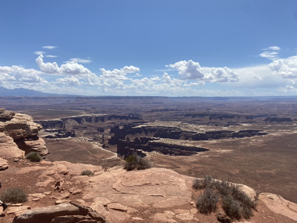
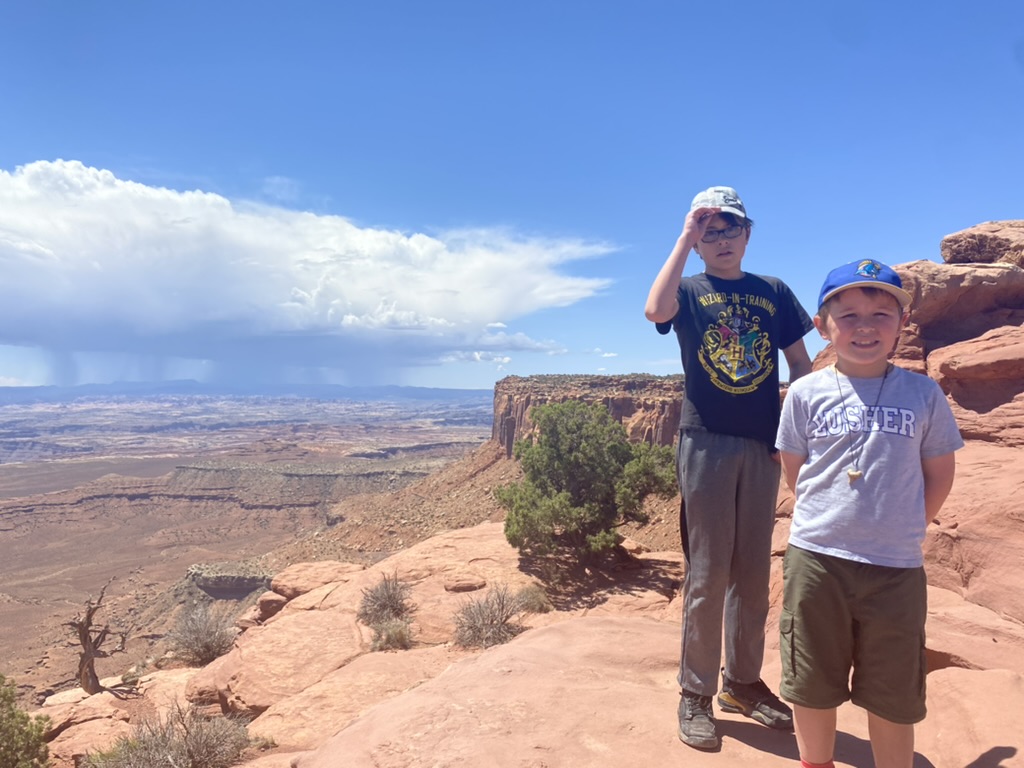
To the left was a huge cloud that was pouring rain, miles away across the vista, though we were dry as a bone and hot under the pounding sun.
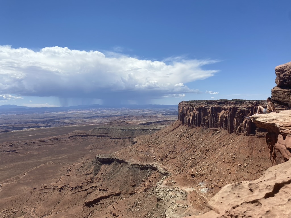
There were rough hewn stone steps in some places, and others had smooth sandstone rocks that clearly have the footprints of thousands of people on them. There were lots of people on the trail with us, as it was Fourth of July weekend. We saw giant boulders, striations, little scrubby trees – stacks of hewn square rocks meant to mark the trail in spots where it becomes unclear.
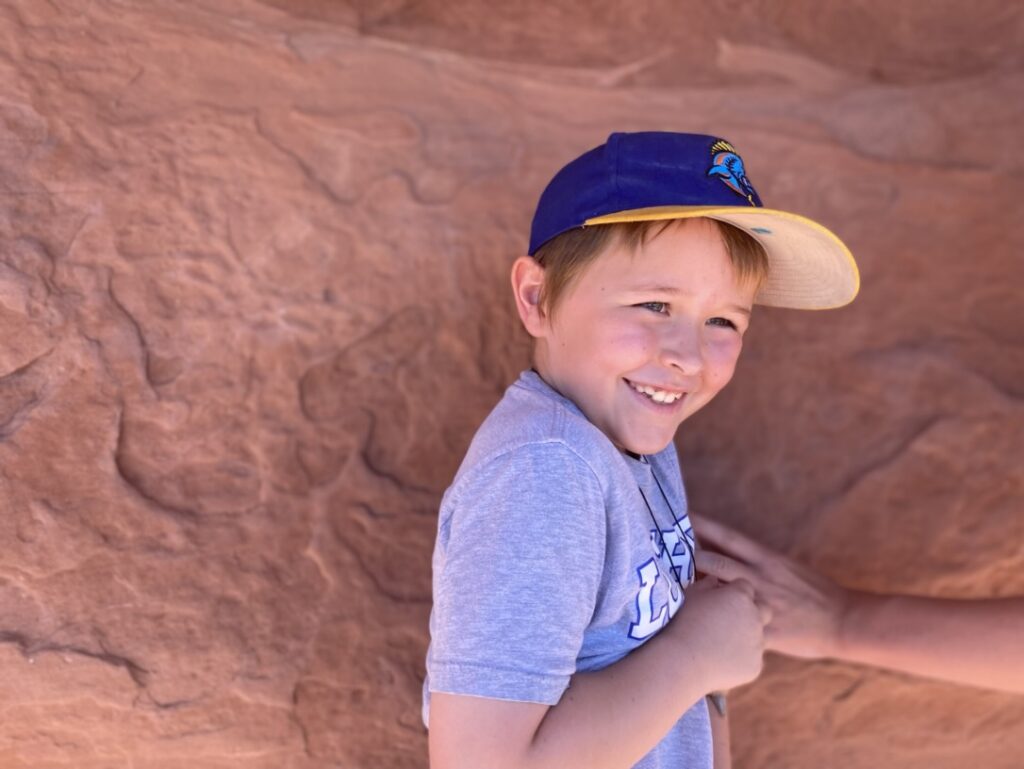
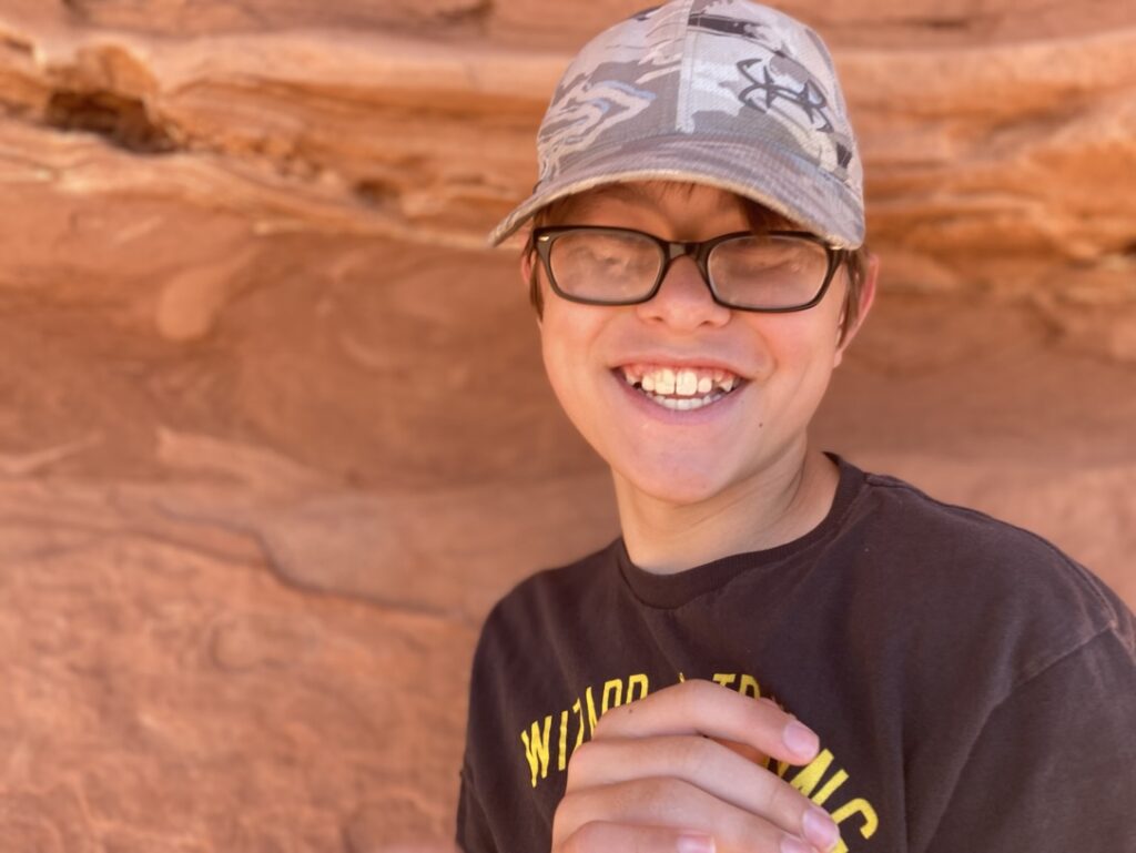
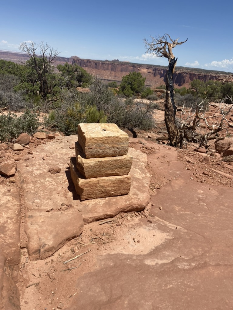
We scrambled and skipped and trip and meandered out to a promontory. The boys asked if they could climb onto the top of the knob of rock, along with others on the trail, and I let them go a little ways and then suddenly panicked at their proximity to instant death-by-tumble and called them back. We snapped photos and chatted and walk back to the car in good humor, ready for some ice cold water in our vacuum sealed tumblers, which kept that ice icy all day.
Next was Mesa Arch – where we got our coolest arch picture by far. That was a really short and easy hike, 1 mile round trip.
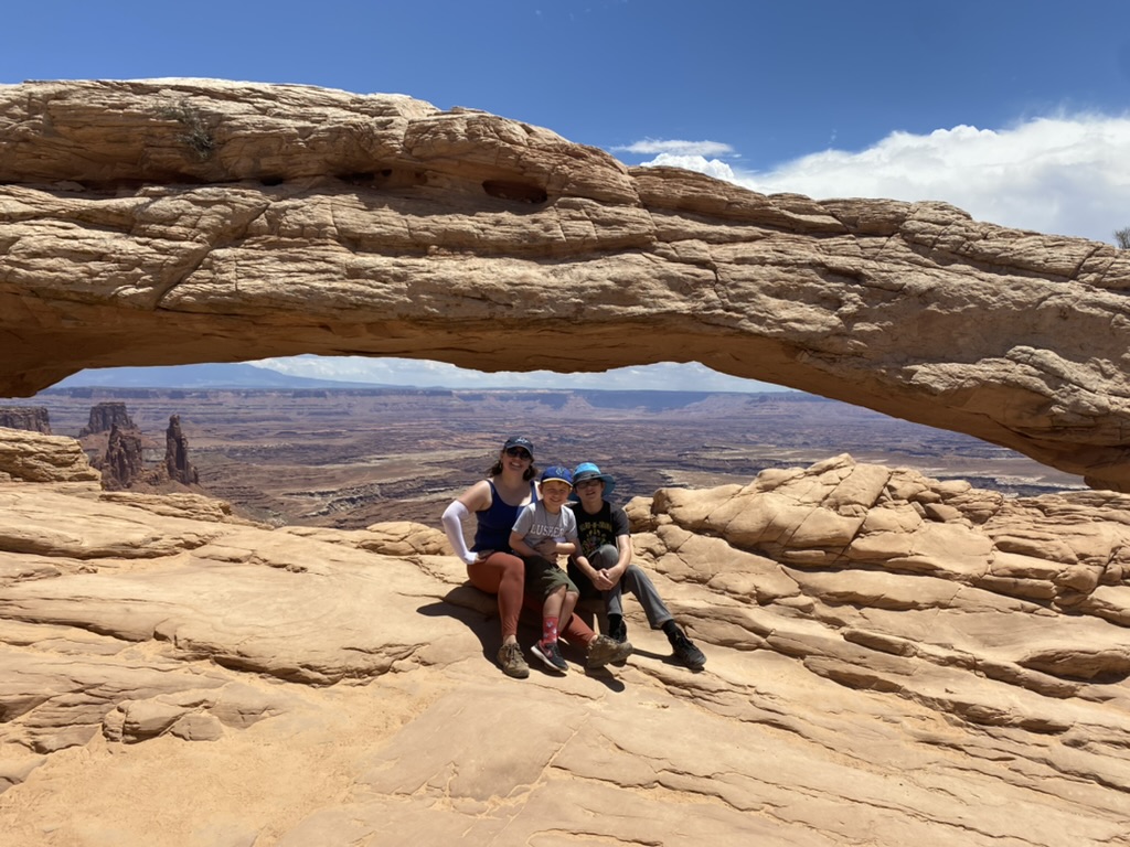
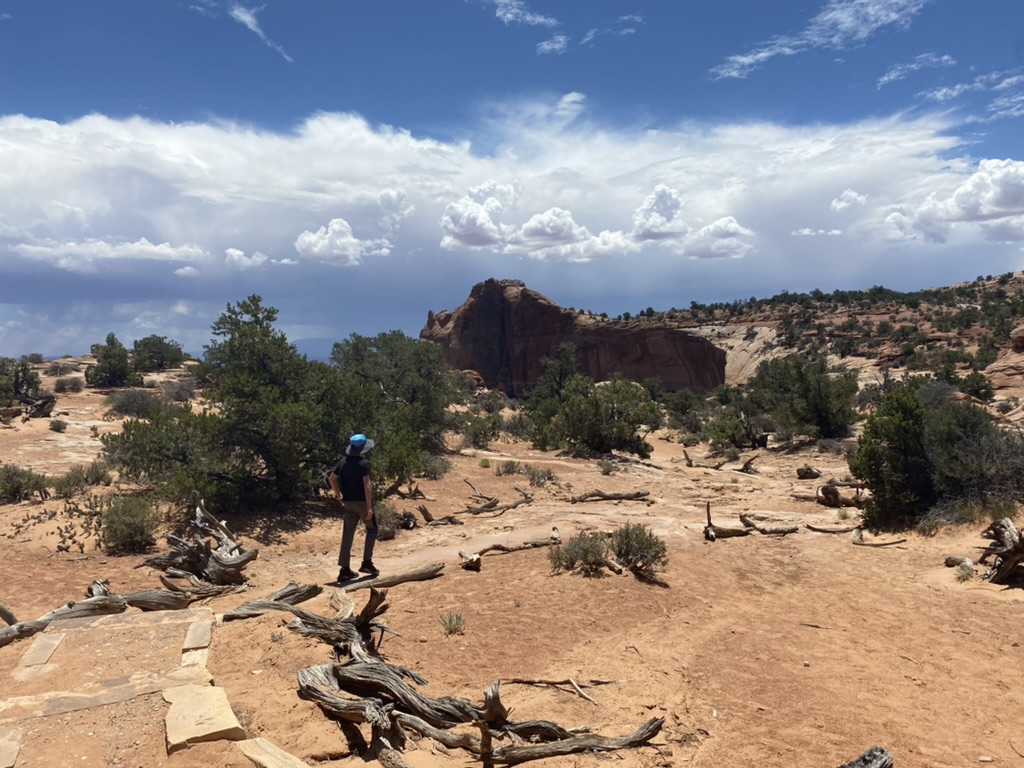
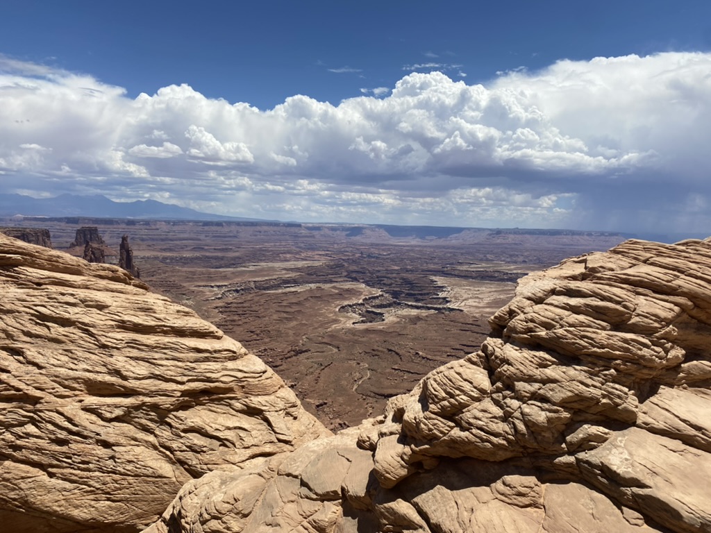
Our last stop after this was the Green River overlook. If you look down into the depths of the canyon, you can see the sliver of green, marking the riparian forest along the banks of the aptly named Green River.
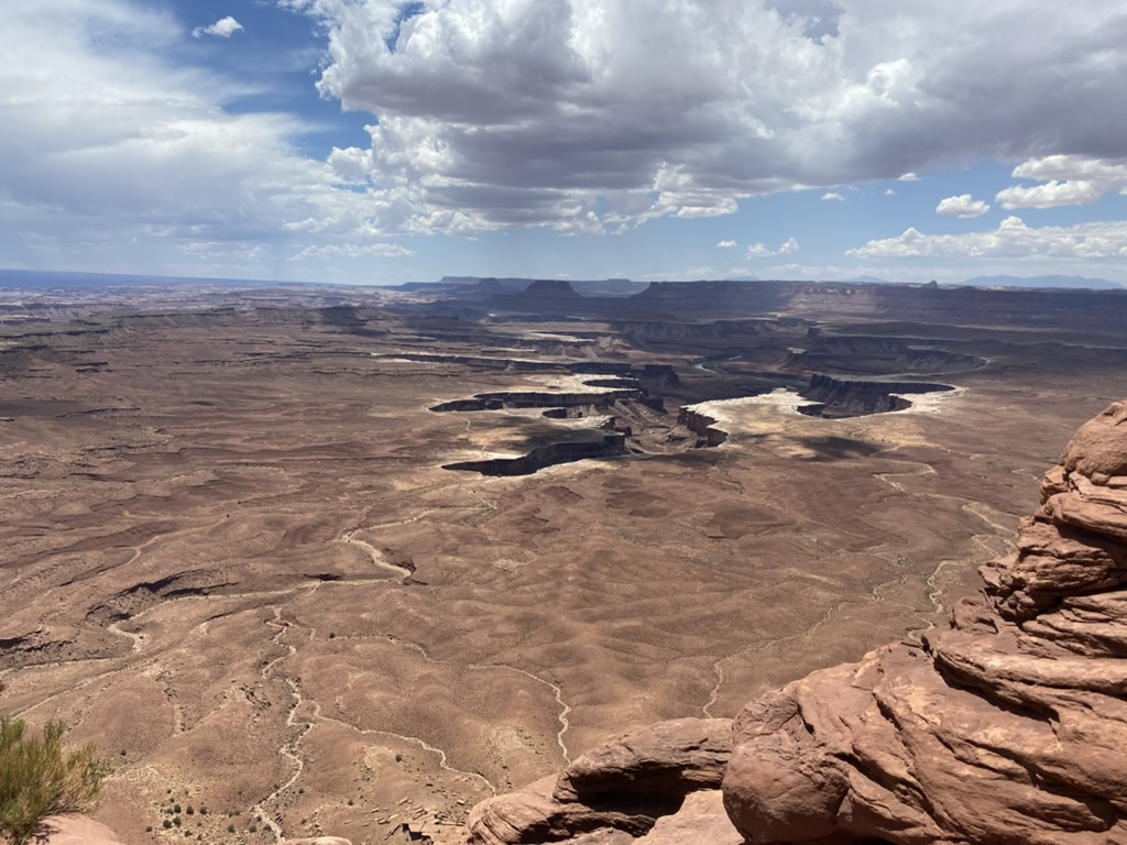
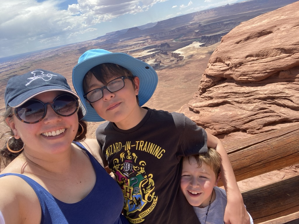
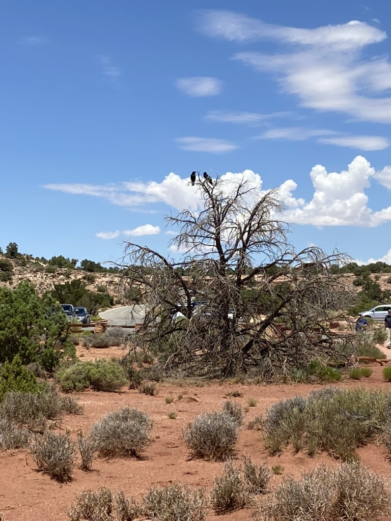
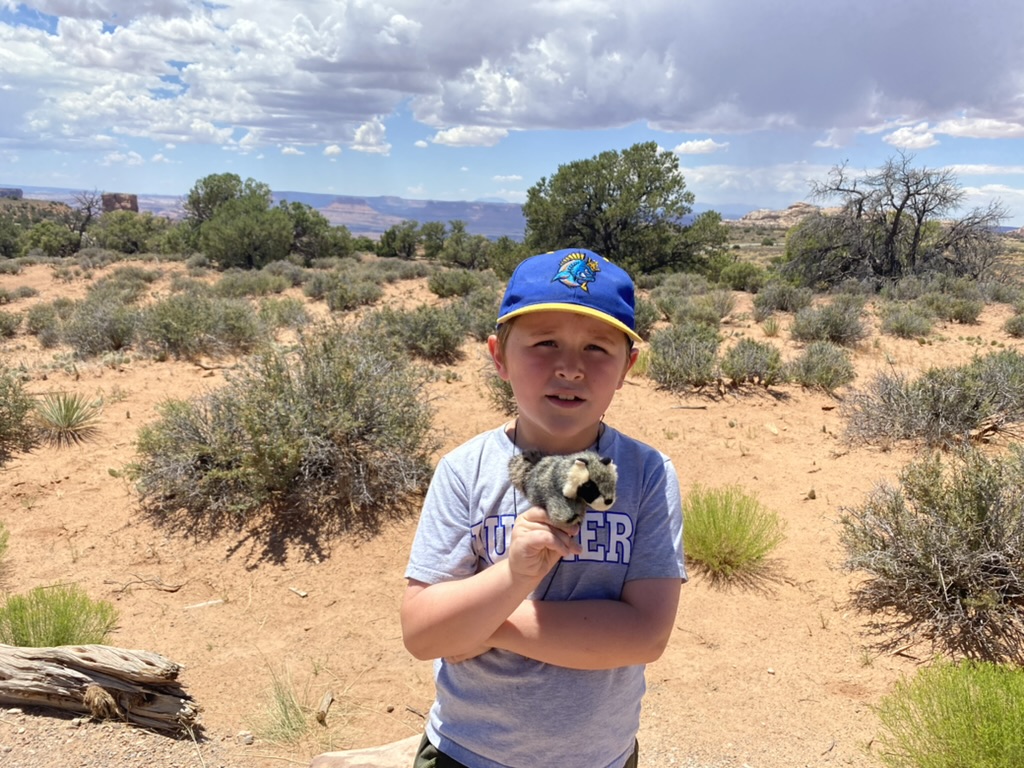
After the Green River Overlook, we got in the car and I passed out packed lunches as we prepared for a long drive. ETA in Sedona was 8:30 pm or so. We listened to books on tape and took a slight detour to drive past Monument Valley, which was just another bunch of stunning rock formations.
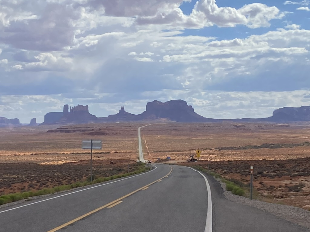
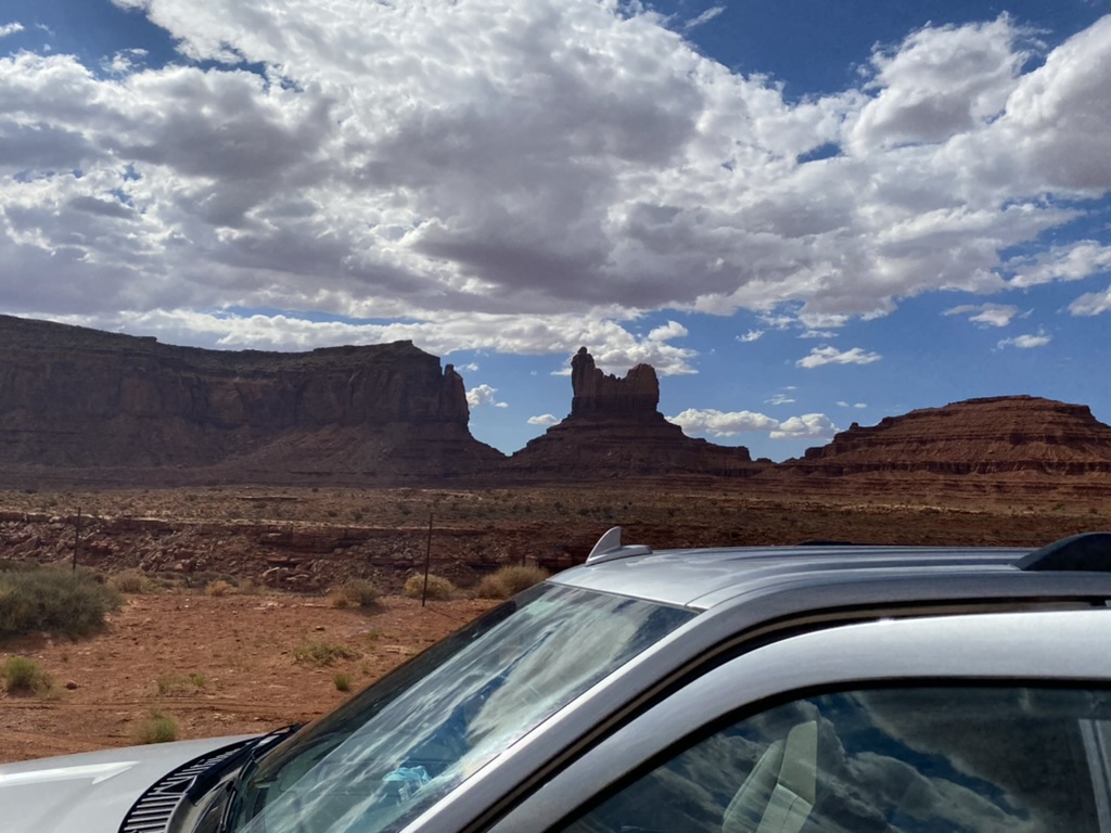
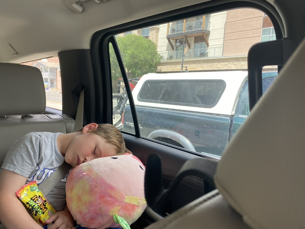
As we drove, a tumbleweed literally did the rolling tumbleweed thing across the road, then was satisfyingly smashed under the wheels of a car and blew away like a dandelion. We eventually made it to Sedona – a town I’ll describe in our next installment.
